In search of a more accurate and practical solution to longitude determination at sea.
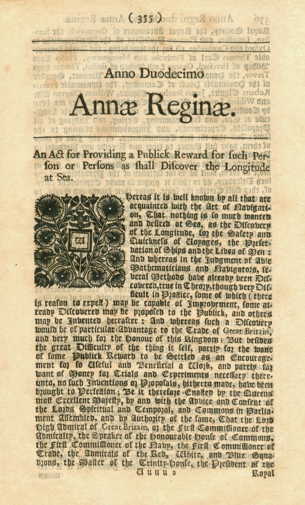
Queen Anne, Tender of Length Prizes, 1713.
1761.
The examination of Mayer’s contribution to the longitude price continues. He repeatedly sends improved lunar charts to London. Nevil Maskelyne takes a sea voyage to St. Helena and tests Mayer’s method for longitude calculation successfully. In the same year Niebuhr starts his journey to Arabia.
1762.
Mayer receives a first message from Niebuhr’s Arabia journey: This also confirms the procedure for longitude calculation. On February 20, Mayer dies shortly after his 39th birthday presumably as a result of a wartime typhus epidemic. Mayer’s widow fights for a decision at the longitude committee.
1765.

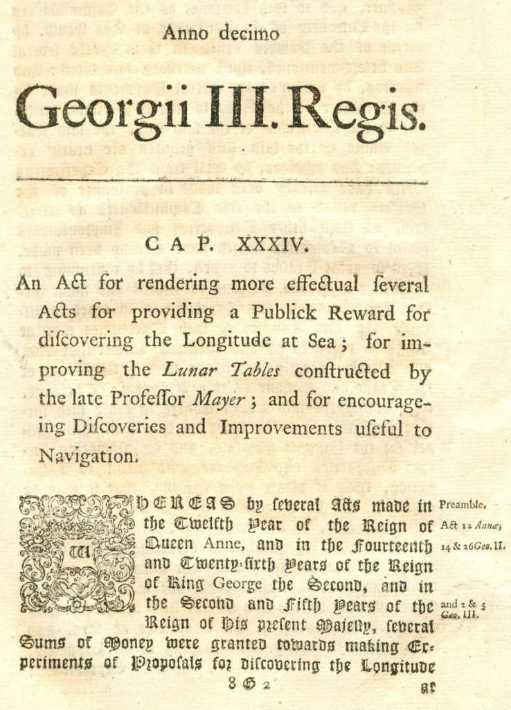
In this document, the proportion of the long-term price is mentioned which was was given to Tobias Mayer.
Mayer is posthumously awarded a part of the longitude price. His widow receives 3,000 of the raised 20,000 pounds, a sum with a present value of 1 million euros. The largest share of the prize money is awarded to another participant: the watchmaker John Harrison with his marine chronometer.
Background-Information:
Tobias Mayer received £ 3,000 in 1765, three years after his death, for the development of a method for the exact determination of the longitude. More than 50 years earlier (1713), the British Parliament had tendered the „longitude price“ so that the British fleet operating worldwide could obtain reliable data on the position of their ships. Until then, the information was very inaccurate and it came again and again to devastating shipwrecks. Thus, in 1707, four British warships hit reefs off the Scilly Isles and more than two thousand marines drowned – because the captain did not know the position of the ship. It is well known that the Englishman John Harrison won the first prize with his watches, which were developed especially for the seafaring industry. Tobias Mayer’s solution to the problem was that he made the starry sky „readable“ as a clock. He calculated the position of the moon to planets in advance, and in the tables compiled from it one could read the respective time in London. Now you only need to compare your own local time with it and the time difference results in the difference in the geographical length between these two places. Mayer’s merit lay in the exact forecast for the lunar orbit, from the simplification of the calculations and calculation methods and in the improvement of the measurements (measuring instruments and measuring methods). His methods achieved a high level of accuracy. The measurement „lunar distances“ is until today a reliable method for Determining the geographic longitude of a place
