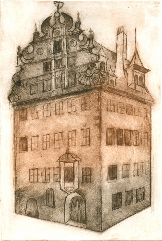
In the so-called Fembohaus was the cartographic publisher Homann’s heirs with jobs and apartments.
Fembohaus in Nuremberg, copper engraving 2002.
1746.
Mayer moves to Nuremberg, at that time the center of cartography. He is hired by the leading Publisher Homann’s heirs, to update obsolete maps. Mayer is improving existing maps, making 33 new ones and helps the publisher in 5 years to the former reputation. While maps have been mostly „copied“, He puts them on approved scientific basis. To obtain the latest astronomical information, Mayer founded the Cosmographic Society together with G. M. Lowitz and publisher J. M. Franz.
1748.
Mayer uses the publishing house and an observatory, to take own measurements of lunar and star positions, but complains about the poor condition of the devices. He explores the irregular orbital motion of the moon, detects large inaccuracies in the existing lunar charts and begins with preparatory work for a precise moon globe. His observations flow into scientific essays, which appear in 1750 in the Cosmographic News.
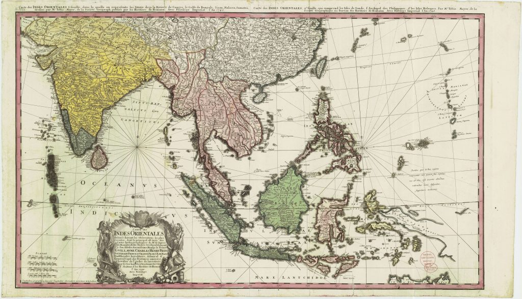
Tobias Mayer has never traveled the region. The island of Ouro is shown three times, because no exact location was possible.
Tobias Mayer, publisher Homann’s heirs, 1748.
Background-Information:
One of his most interesting maps is that of Southeast Asia: „Carte des Indes Orientales“ (1748). The map first stands out because of its large format: it was engraved on two copper plates and printed, and the customer had to fix them together in the middle. That depended on the size of the copper plates used at that time, such a large area could not be put on a single copper plate at this scale. But what’s interesting about the map is that Mayer applies his „critical method“ here as well. At first glance you do not see it, but a close look reveals that above the cartouche (the artistically executed title in the bottom map) the island „Ouro“ appears three times. Mayer adds remarks, that show that he has found the island on different maps in very different locations. And since he himself was not there yet and could check the information provided by the other cartographers, he indicated who was drawing the island where and whether he considered it possible. His remark, that it was questionable, whether the island exists at all hits a bull’s-eye: it was an invention of seafarers boasting such „discoveries“.